| |
|
|
|
|
Philippine Authorities Warn Residents About Tropical Storm Ulysses (Vamco) November 9, 2020
|
|
|
|
|
|
Tropical Storm Ulysses, known internationally as Vamco, formed out of a Tropical Depression in the Philippine Sea on Monday, November 9. Ulysses is currently forecast to become a severe tropical storm in the next 24 hours, as it has slowed down in the Philippine Sea and will strengthen further to become a Typhoon on Wednesday, November 11. The state weather bureau has raised Signal No. 1 warnings on Monday evening that indicate winds of 30 to 60 km/h (18 to 37 mph) expected in less than 36 hours.
On Monday afternoon, Ulysses was located 485km (301mi) east of Borongan City (Eastern Samar province) and is expected to move northwest at 15km/h (9 mph) until Tuesday, November 10. The storm will then move west and make landfall in the Bicol-Quezon area on Thursday, November 12. Although the center of this storm is currently far from land, it’s trough and extension will start bringing rain, possible floods, and landslides as early as Monday evening.
The Philippine Atmospheric, Geophysical and Astronomical Services Administration (PAGASA) has warned that moderate to heavy rainfall will occur in Apayao, the Babuyan Islands, Cagayan, and Ilocos Norte regions. Strong winds and light to moderate rainfall is currently predicted in the Bicol, Quezon, and Eastern Visayas regions beginning on Tuesday, November 10.
This forecast is subject to change if there are significant shifts in direction or speed of Tropical Storm Ulysses. However, current predictions show that travel will be risky in certain coastal areas with waves predicted to reach over 4.8 meters high. Also note that associated disruptions to transport, business, and utilities are possible over the coming days as the storm passes.
|
|
|
|
|
|
- If you are currently in the Philippines, pay close attention to local media sources for weather-related updates, review contingency plans, and heed any directives issued by local authorities, including evacuations.
- Those in the path of the tropical storm should heed any and all government directives and should acquaint themselves with the nearest storm shelter as well as how to avail themselves of relief efforts after the storm passes.
- Those in coastal areas and/or low-lying areas inland should pay particular attention to building elevation and the potential for flooding, as storm surge and flooding events are frequently the deadliest aspects of tropical systems.
- If winds are very strong, seek shelter in interior rooms such as bathrooms or stairwells. If you stay in rooms with windows, you run the risk of getting hit with breaking glass.
- If you were scheduled to travel to the region during this time, call your airline carrier or travel agent to inquire about postponement details and cancellations.
- Remember that fierce winds are not the only danger caused by a tropical storm. Flooding and landslides are a more dangerous threat of most storms. Avoid walking or driving through flood waters. Do not park your vehicle near a stream, pond, or river.
- Finally, put together a disaster survival kit. Keep the following supplies near you and put them in a water-tight container: flashlight with extra batteries, first aid kit, common medicines (ibuprofen, aspirin, antihistamines), eyeglasses, drinking water, non-perishable foods, change of clothes, cash and credit cards, and copies of all important documents.
|
|
|
|
|
|
|
|
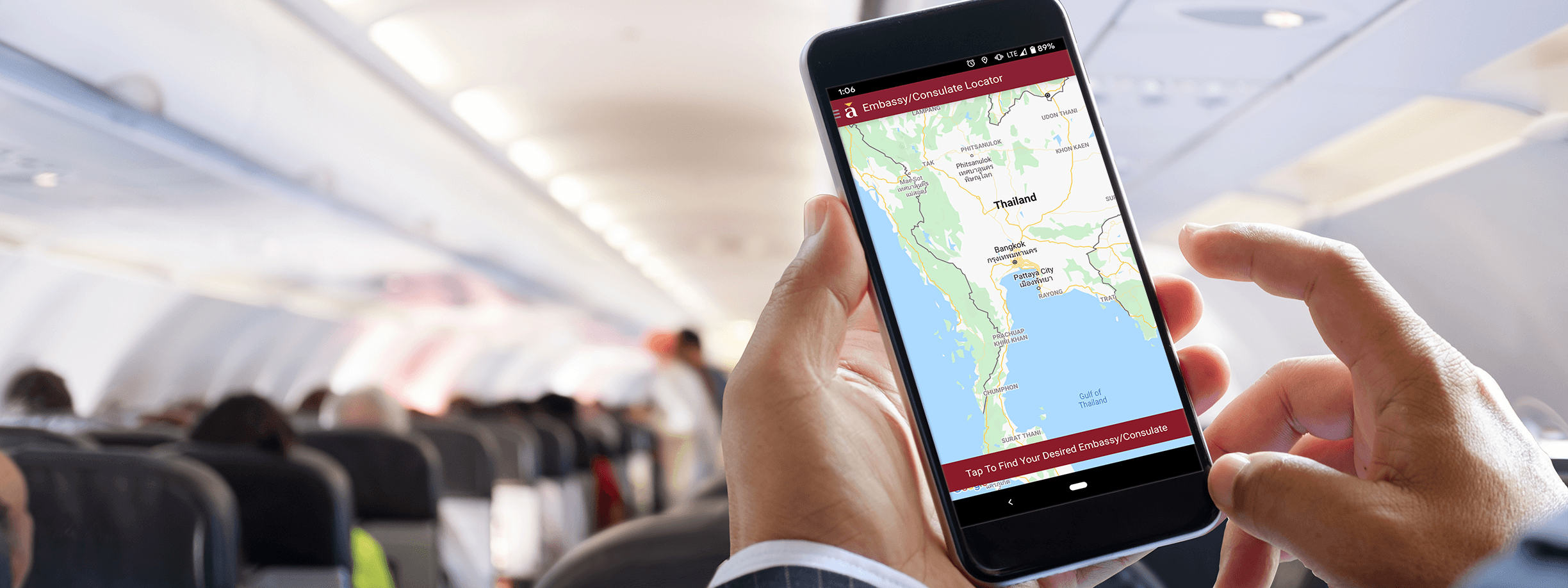
Our free Apps for iPhone and Android give you instant access to a wide range of assistance including one-touch call to our 24/7 Emergency Operations Center, travel alerts, pre-trip information, and more. |
|
|
|
|
|
For pre-trip information: Assist America members can view pre-trip information on the Assist America website, www.assistamerica.com. Log in using your Assist America reference number. Interested in learning more about Assist America? Please visit us at www.assistamerica.com. Tell a fellow traveler about the newsletter and show them how to subscribe online! Interested in having your organization become a member of Assist America? Please e-mail us at sales@assistamerica.com. The content of this edition of AssistAlert is for informational purposes only and is not intended to replace further investigation or personal observations. If you are planning travel, or are traveling in or proximate to the locations identified in this newsletter, you are encouraged to contact SecurAssist for additional information. |
|
|
|
|
|
|